 MateVFR
Aeronautical map, PFD with VOR and CDI, flight plans, official charts and an automatic logbook. Free, with no ads.
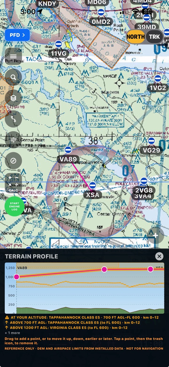
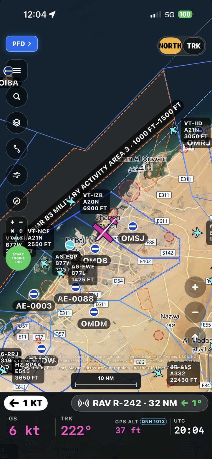
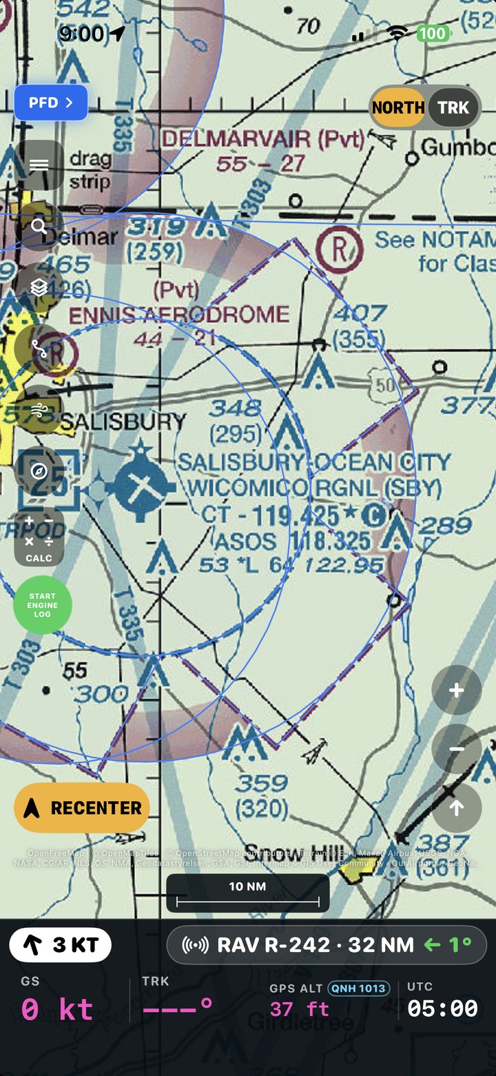
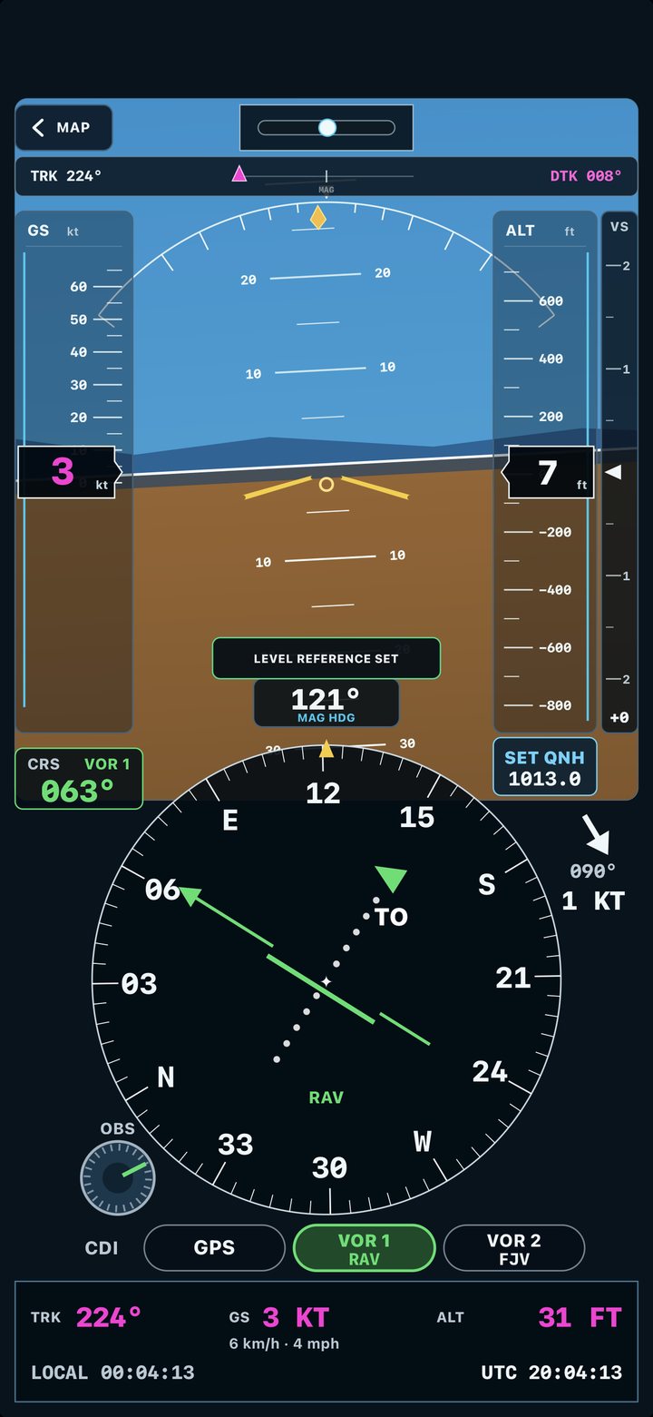
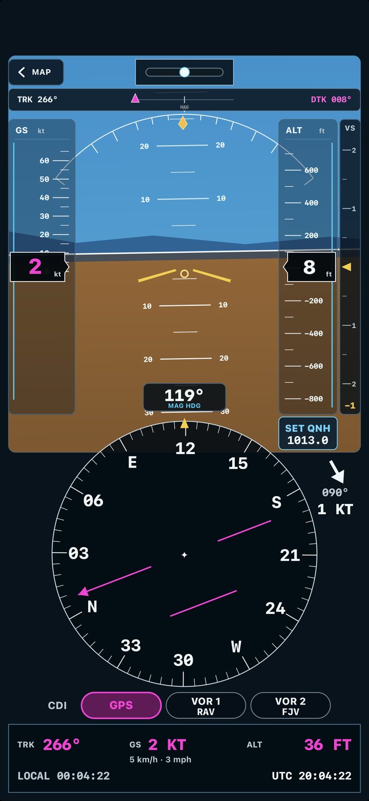
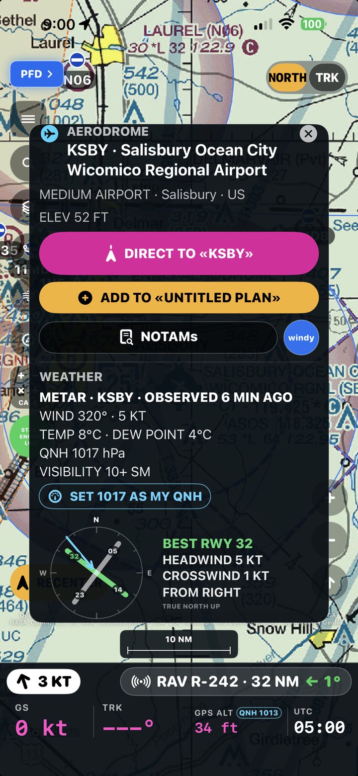
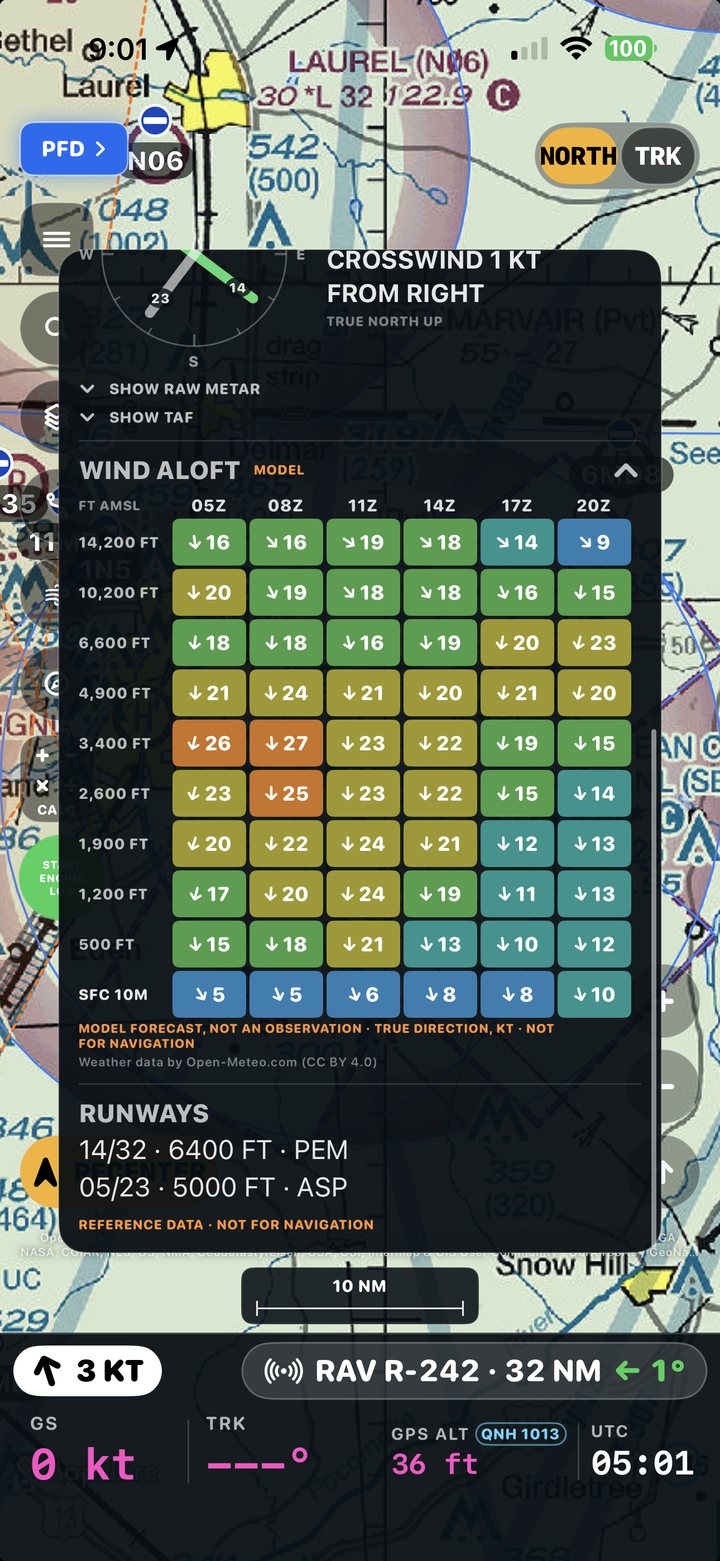
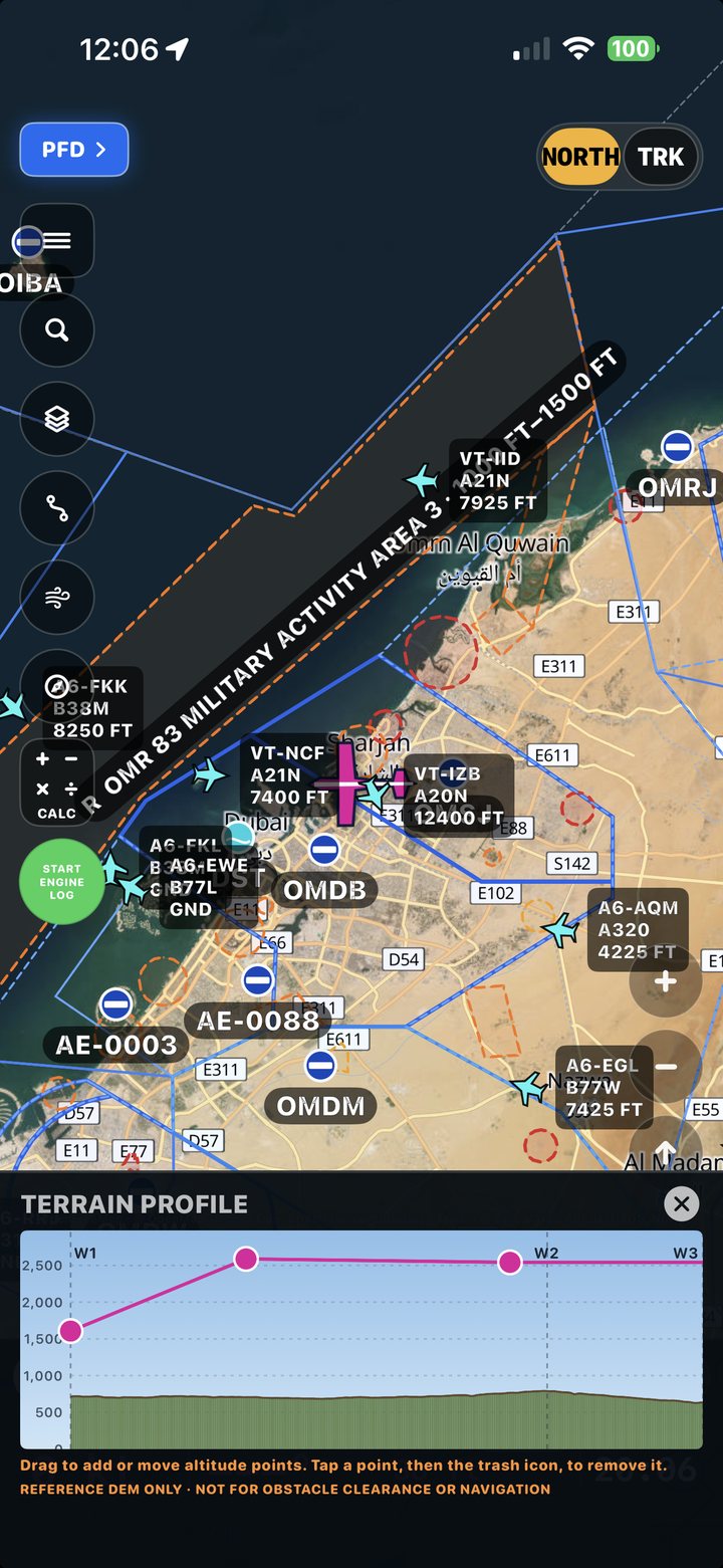
The parts pilots use most, as they look in the app.
Aerodromes, airspace, navaids, obstacles, named reporting points and ATS routes, over the base map or satellite imagery. Official charts to download for Argentina, Spain, France and Portugal, and the FAA's VFR chart of the United States, online and always at the current edition.
Horizon, a large compass rose and speed, altitude and heading tapes. Pick VOR 1 or VOR 2, turn the OBS knob and read TO/FROM and the needle, or follow the CDI by GPS. Wind and flight data always in view.
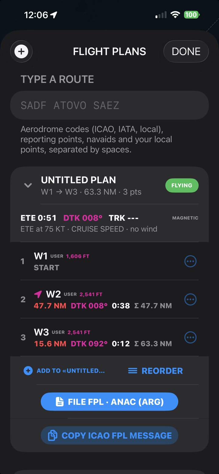
Type the route (SADF ATOVO SAEZ) and the app finds the aerodromes, reporting points and navaids, or build it by tapping the map. DIRECT TO from any point, estimated time, and a terrain profile with the airspace you cross.
Tap an aerodrome for the METAR and TAF, runways, the best runway with headwind and crosswind, NOTAMs and QNH. Winds aloft, hour by hour, come from a model and refresh by themselves.
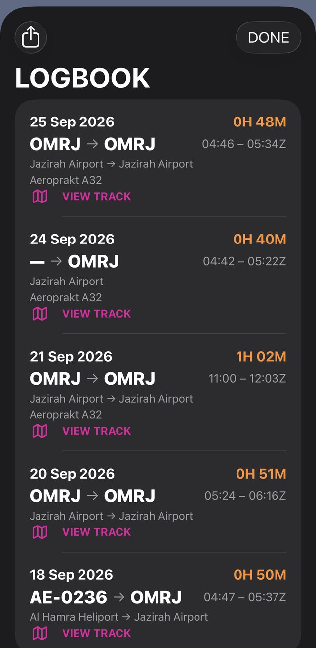
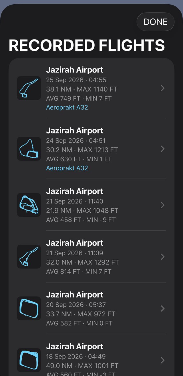
It detects takeoff and landing, records the track and builds your logbook with departure and arrival aerodromes, time and aircraft. See each flight on the map and export the logbook whenever you want.
Smaller things that make a difference.
Mark visual references and obstacles and share them with other pilots. The developer reviews them before anyone else sees them.
A compass rose with an OBS knob over the map, and a flight calculator one tap away.
Live traffic around you on the map, from adsb.fi.
Spanish, English, German, Italian, French and Portuguese.
Almost everything works without signing in. An account only syncs your aircraft, logbook and shared points.
Your position and sensors stay on the phone. You can delete your account from the app at any time.
Official charts by country and open aeronautical data, with their credit in plain sight.
MateVFR is a reference and situational-awareness aid. It is not certified, may be wrong or out of date, and must not be your only means of navigation. Always use current official publications.
First public version, under Apple's review.
The same app for Android phones.
More countries and official charts.
MateVFR is free and has no ads. If you like it you can support the developer with a voluntary donation from the app; it unlocks nothing. Write in English or Spanish.
MateVFR — free and ad-free. Fly safe.